 The canals
History
From fishing village to world-famous canal belt

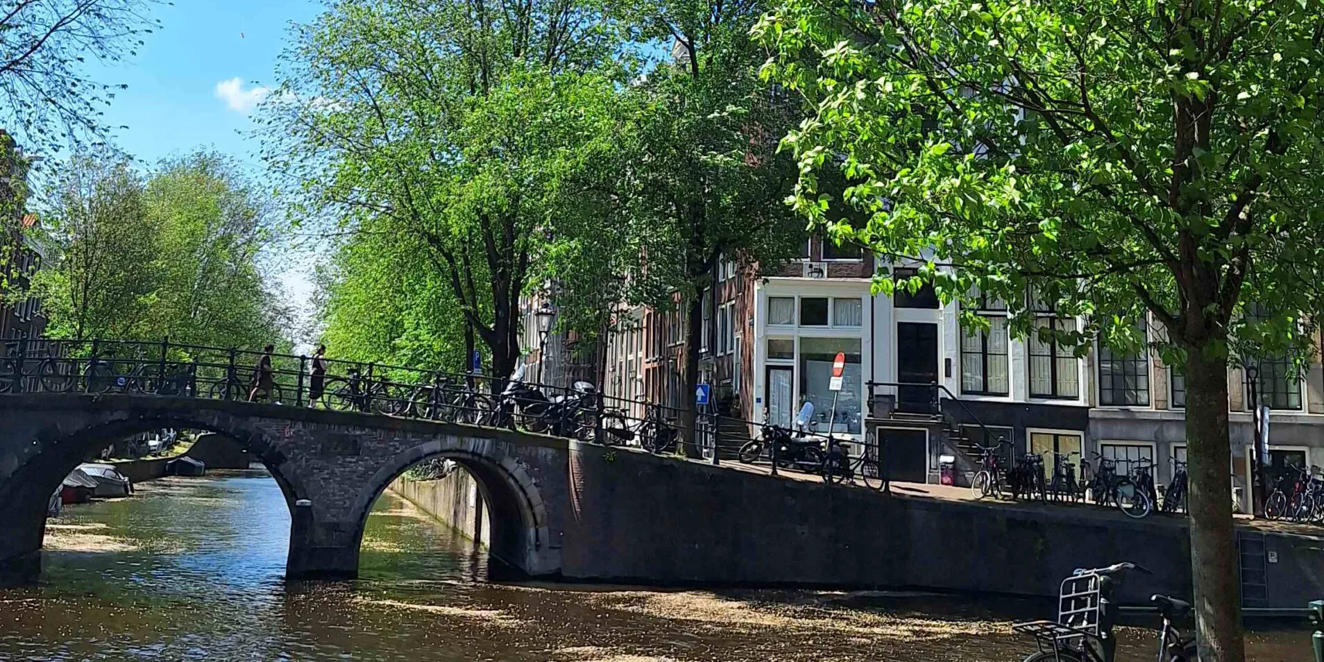
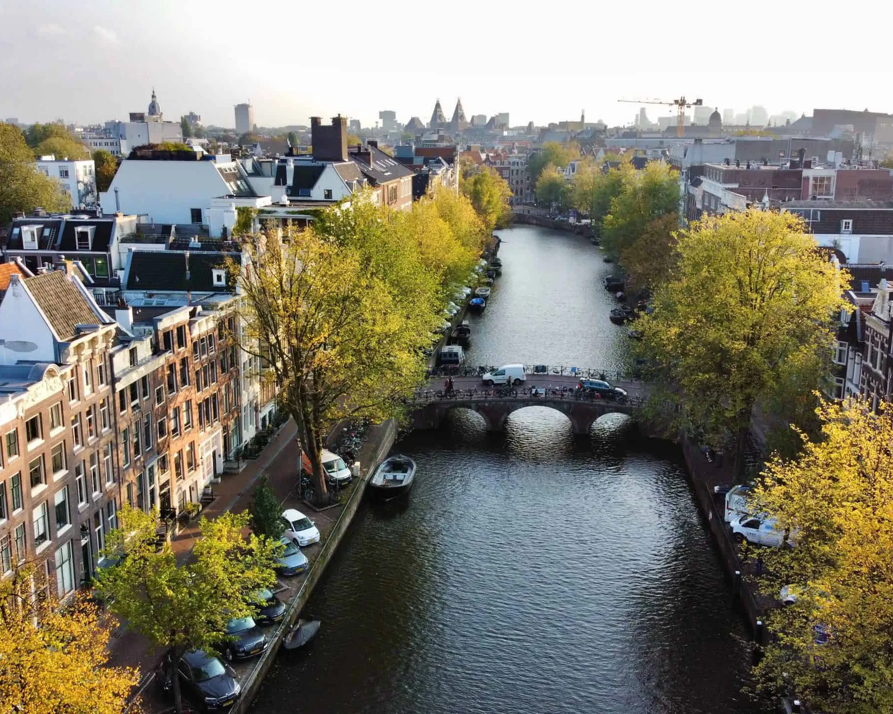
For nearly a century, the term 'canal belt' has encompassed the fan-shaped canals that enclose the old center of Amsterdam. Often, this term refers only to the most impressive parts of the canal belt: the Herengracht, Keizersgracht, and Prinsengracht on the western side of the Amstel.
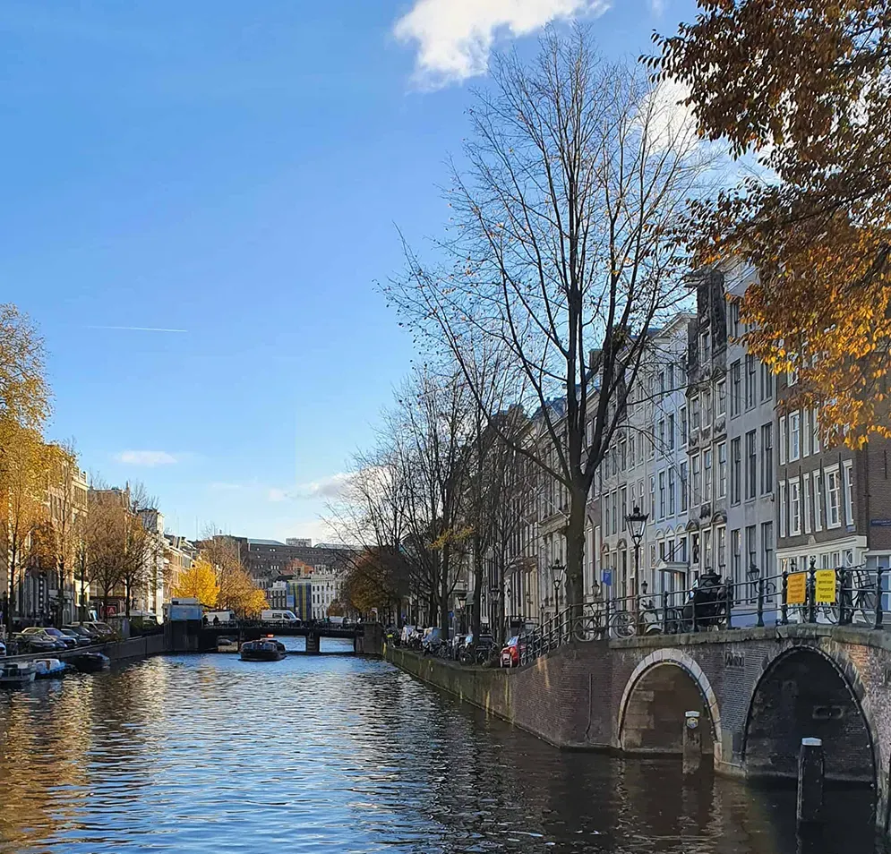
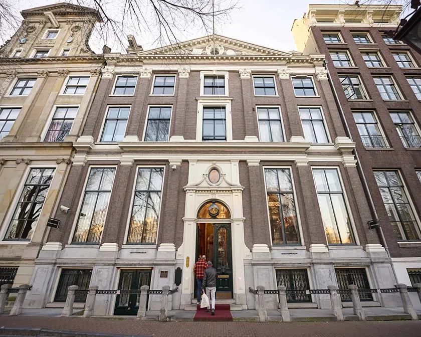
Grachtenmuseum Amsterdam
Historically, the canal belt also includes the Singel and the Nieuwe Herengracht, Nieuwe Keizersgracht, and Nieuwe Prinsengracht to the east of the Amstel. The oldest of these four canals, the Singel, was originally the western part of the medieval moat that ran from the Amstel along the Kloveniersburgwal and Geldersekade. Subsequently, the other three canals were built. The new canals were given attractive names to encourage wealthy merchants to build elegant houses there. These new canals were named the Prinsengracht, Keizersgracht, and Herengracht.
The canal belt has a structured layout with main lines. Within these main lines, there was a variation in size, function, atmosphere, and wealth. In particular, the Herengracht and Keizersgracht were intended as prominent residential canals from the moment they were built. The Herengracht, especially, was favored by wealthy merchants and high-ranking officials. The exceptional width of these canals also contributed to their status. Consequently, the water in these canals was not intended for through traffic. Peace and quiet were highly promoted on these canals, both in the courtyards and the buildings as well as in the public space. Functions causing noise, smoke, and odors were therefore barred from the buildings on these canals. Intensive traffic and large crowds were also not intended for the residential canals. While people lived on the Herengracht and Keizersgracht, the side streets and squares in the canal belt served for commerce and its associated traffic.
The most impressive city palaces were located on the 'Golden Bend' of the Herengracht, between the Vijzelstraat and the Leidsestraat. Some buyers attempted to implement architectural plans for a row of several houses next to each other. This was particularly common in the Golden Bend. The only trade that took place around the Herengracht and Keizersgracht was located in the five narrow shopping streets that connected the old city with the five main gates of the city: the Haarlemmerpoort, Leidsepoort, Utrechtsepoort, Weesperpoort, and Muiderpoort.
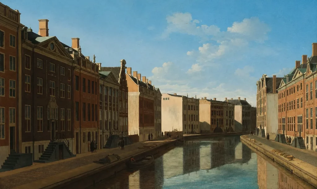
View of the Golden Bend in the Herengracht, Gerrit Berckheyde, 1671-1672. Collection Rijksmuseum
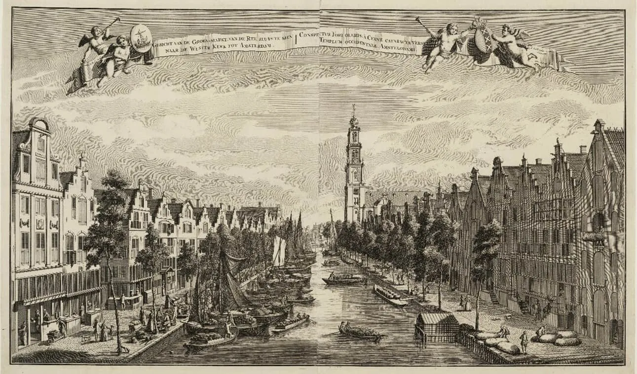
The Prinsengracht at the Reestraat and the vegetable market, c. 1725; Abraham Rademaker and Jan Schenk
The Singel and the Prinsengracht formed the working and traffic canals. These canals were very busy due to the warehouses, markets, and other activities established here. For instance, the Prinsengracht was home to an orphanage, the later Palace of Justice, a market square, and a church for the common people. Furthermore, images from that time show that these canals were laden with small boats and merchandise. The Prinsengracht was the waterway that connected all parts of the new city. The Prinsengracht was, in fact, the only canal directly connected to the IJ. As a result, the Prinsengracht and the Brouwersgracht formed the transitions between the most elegant canals and the working areas outside the canal belt.
The canalsFrom fishing village to world-famous canal belt
 The canals
UNESCO World Heritage since 2010
 The canals
Facades of Amsterdam through the centuries